Accuracy Evaluation of OpenStreetMap
Status: Published
Keywords: Canada, quality, OpenStreetMap, volunteered geographic information
Background: Volunteered geographic information (VGI) has been applied in many fields such as participatory planning, humanitarian relief and crisis management. One of the reasons for popularity of VGI is its cost-effectiveness. However, the coverage and accuracy of VGI cannot be guaranteed. The issue of geospatial data quality in the OpenStreetMap (OSM) project has become a trending research topic because of the large size of the dataset and the multiple channels of data access.
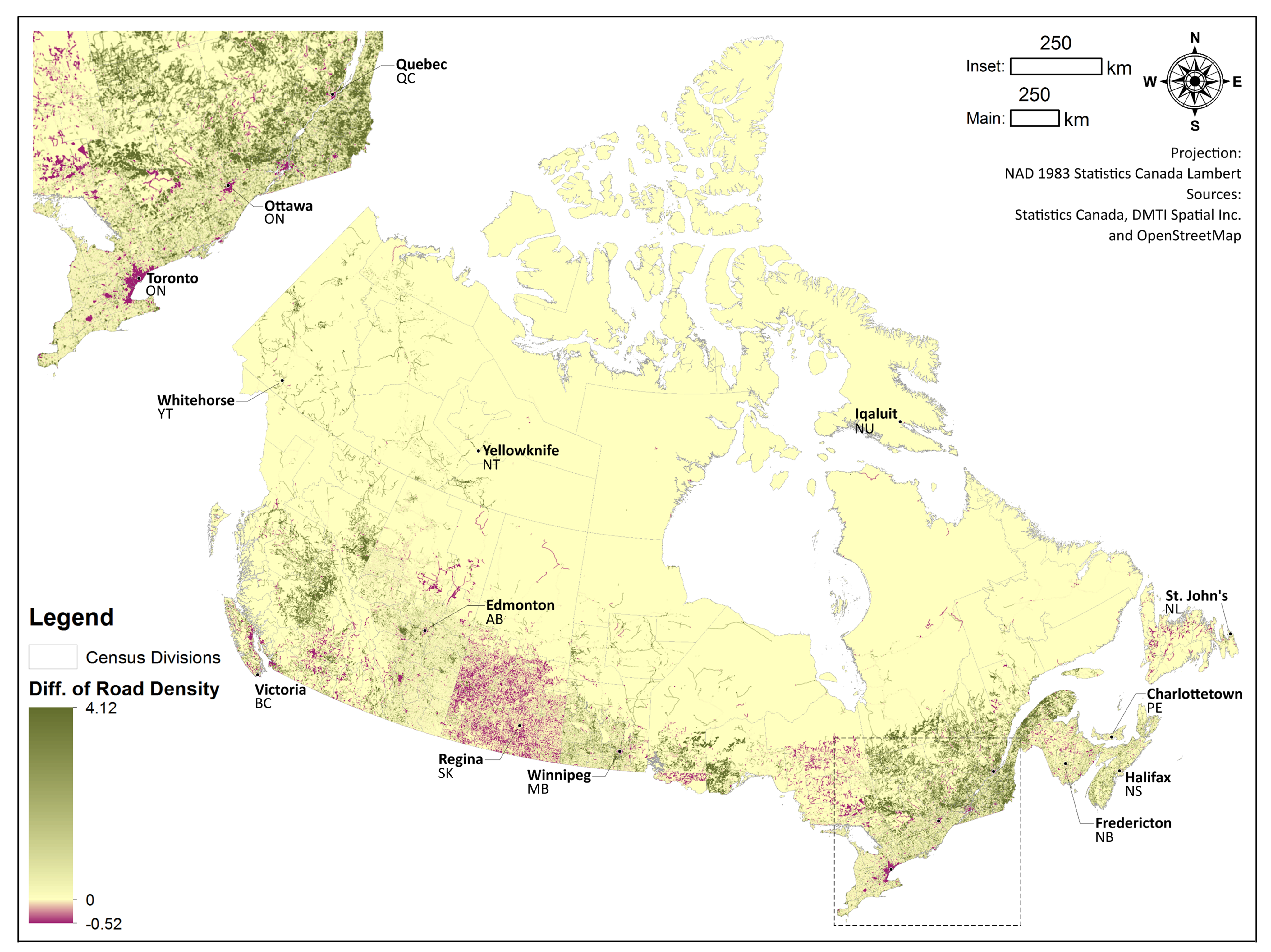
Methods: This paper focuses on a national study of the Canadian OSM road network data for the assessment of completeness, positional accuracy, attribute accuracy, semantic accuracy and lineage.
Findings: The OSM road networks in Canada have generally reliable quality compared to Digital Mapping Technologies Inc (DMTI). Urban areas and footways received more contributions than rural areas and motorways, and imported road segments from GeoBase have slightly better quality than the national OSM dataset.

Significance: The findings of the map quality can potentially guide cartographic product selection for interested parties and offer a better understanding of future improvement of OSM quality. In addition, the study presents the OSM contributions influenced by data import and remote mapping.
Reference: Zhang, H., & Malczewski, J. (2017). Accuracy evaluation of the Canadian OpenStreetMap road networks. International Journal of Geospatial and Environmental Research, 5(2).